Boeken - Schotse Hooglanden & Speyside
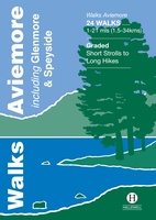 Wandelgids Walks Aviemore : Including Glenmore & Speyside | Hallewell Publications
This guide covers an upper stretch of the Spey Valley, from Grantown-on-Spey in the north to Newtonmore in the south. The main walking centres are Aviemore and Glenmore; the bulk …
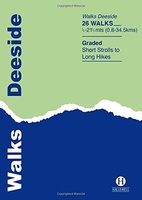 Wandelgids Deeside | Hallewell Publications
This guide covers the walks around Royal Deeside: Banchory, Aboyne, Ballater and Braemar, as well as Balmoral. Routes include climbs in the Cairngorm National Park, hill paths around Loch Muick …
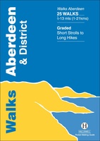 Wandelgids Aberdeen and District | Hallewell Publications
Walks Aberdeen & District covers the city of Aberdeen and the surrounding coast and countryside. Most of the walks are fairly gentle, though there are some fine hill walks on …
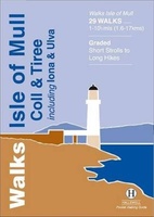 Wandelgids Isle of Mull, Coll and Tiree | Hallewell Publications
Rewalked and revised in 2015, Walks Isle of Mull, Coll & Tiree including Iona & Ulva includes walks on the Inner Hebridean island of Mull and the nearby islands. Mull …
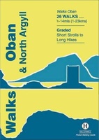 Wandelgids Oban and North Argyll | Hallewell Publications
Rewalked and updated in 2018, Walks Oban & North Argyll covers the area around the popular coastal town of Oban, the offshore islands which can be reached from the town, …
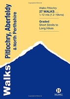 Wandelgids Pitlochry, Aberfeldy & North Perthshire | Hallewell Publications
Walks Pitlochry, Aberfeldy & North Perthshire covers the northern part of the county of Perthshire: from the wilderness of Rannoch Moor to the popular holiday town of Pitlochry. Formerly published …
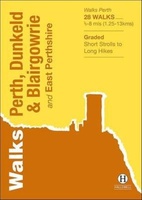 Wandelgids Perth, Dunkeld & Blairgowrie | Hallewell Publications
Walks Perth, Dunkeld & Blairgowrie (previously published as Walks East Perthshire) has been completely rewalked and revised. The guide covers the eastern part of the county of Perthshire, with a …
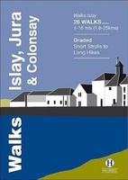 Wandelgids Islay, Jura & Colonsay | Hallewell Publications
Walks Islay, Jura & Colonsay features walks on the three inner Hebridean islands. Each island has it's own distinct character and the 26 walks featured give a good feel for …
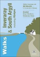 Wandelgids Inveraray & South Argyll : Including Kintyre | Hallewell Publications
Rewalked and updated in 2022, 'Walks Inveraray & South Argyll including Kintyre' covers the stretch of Scotland's west coast from Ardfern in the north to the Mull of Kintyre in …
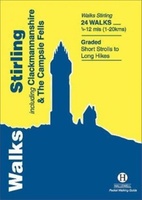 Wandelgids Stirling : Including Clackmannanshire & the Campsie Fells | Hallewell Publications
Rewalked and revised in 2021, Walks Stirling (a new edition of our previous guide to Stirling & District) features 24 walks, and now covers the Campsie Fells as well as …
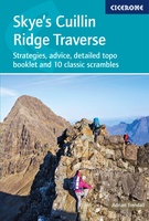 Wandelgids Scrambles in Skye's Cuillin Ridge Traverse | Cicerone
A guidebook to the Isle of Skye’s Cuillin Ridge Traverse. This 2-volume set is a comprehensive guide to planning and completing this challenging and technical 12km scramble. With a route …
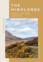 Reisgids The Highlands | Quadrille Publishing Ltd
Off the Beaten Track: The Highlands is a thoughtfully curated guide revealing the hidden joys of the Highlands, including where to eat well, explore and rest along the way. …
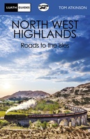 Reisboek The North West Highlands | Luath Press
This book deals with the vast and lovely area lying to the north and west of Fort William, and going up through the Highlands as far as Ullapool. It is …
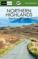 Reisboek Northern Highlands | Luath Press
The Empty Lands are that great area of northern Scotland between Ullapool and Cape Wrath, and between Bonar Bridge and John o' Groats. It is truly the Land of the …
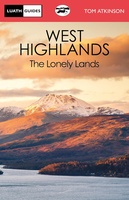 Reisboek The West Highlands | Luath Press
Inveraray, Oban, Kintyre, Glencoe, Loch Awe, Loch Lomond, Appin, Islay - all the glories of Argyll are described in this book. From Dumbarton to Campletown and north to Loch Etive …
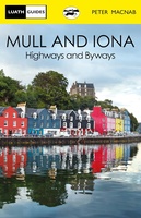 Reisboek Mull and Iona | Luath Press
The fairest of the inner Hebridean islands and Scotland's great centre of celtic Christianity. Both Mull and Iona are now easily accessible even for day visitors from the mainland, …
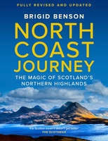 Reisgids North Coast Journey | Birlinn
Brigid writes with warmth and appreciation of communities that she knows and loves, and she inspires us to explore them' - Rick Stein 'Whenever I am talking to customers about …
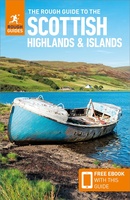 Reisgids Scottish Highlands and Islands | Rough Guides
Een zeer uitvoerige reisgids voor zowel de zelfstandige als de georganiseerde reiziger. Veel informatie, zowel praktisch als over allerhande achtergronden van het land; met o.a. aandacht voor geschiedenis, taal ,flora …
★★★★★★★★★★
Laatste reviews

Klein en handig compact boekje, perfect om mee te nemen voor op vakantie!!!👍🏼
★★★★★ door Mathias 11 december 2024 | Heeft dit artikel gekocht
Duidelijk, makkelijk in gebruik en mijn man (het was een kadootje voor hem)stippelt allerlei interessante tochtjes uit met jullie fijne kaarten!
★★★★★ door Joke Erkens 10 december 2024 | Heeft dit artikel gekocht
Met het arriveren van deze prachtige en overzichtelijke wegenkaart is de voorpret van het plannen van de vakantie begonnen. Ik vind het heerlijk om gebogen …
★★★★★ door Carl 10 december 2024 | Heeft dit artikel gekocht
prima kaart - goede schaal om op te lopen - veel toeristische info
★★★★★ door herman de swart 09 december 2024 | Heeft dit artikel gekocht

