Ierland
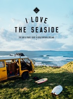 Reisgids I love the seaside Great Britain - Ireland, Groot Brittannie en Ierland | Mo'Media | Momedia
The I Love the Seaside Surf & Travel Guide to Great Britain & Ireland is a 464-page printed book (English language) exploring the (surf) coast of Britain and Ireland. From …
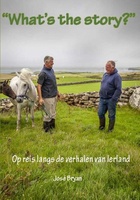 Reisverhaal What's the story? | José Bryan
“WHAT’S THE STORY?” Op reis langs de verhalen van Ierland Weergaloos nieuw boek dat je, met een lach en een traan, meeneemt op reis naar het mystieke Ierland. De schrijfster …
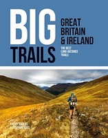 Wandelgids Great Britain & Ireland | Vertebrate Publishing
Big Trails: Great Britain & Ireland is an inspirational guide to the most iconic, spectacular and popular long-distance trails in England, Scotland, Wales, Northern Ireland, Ireland and the Isle of …
 Reisgids Mini Rough Guide Ireland | Rough Guides
Een kleinere versie in zakformaat van de grotere versies van de Rough Guides. Als altijd weer vol met goede informatie over cultuur en praktische zaken. Achterin kleine plattegronden. Compact, concise …
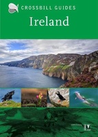 Natuurgids Crossbill Guides Ireland | KNNV Uitgeverij
Ireland, the Emerald Isle, is famous for its checkerboard landscape of green fields and hedgerows. Its coast showcases sandy beaches, mudflats and saltmarshes, Atlantic Rainforests, rocky shores and cliffs, all …
★★★★★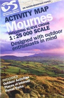 Wandelkaart The Mournes | Ordnance Survey Ireland
From the rugged granite peaks of the mountains to the picturesque coastline below, the Mournes region is an Area of Outstanding Natural Beauty. This guide map has information about climbing, …
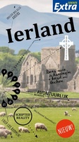 Reisgids ANWB extra Ierland | ANWB Media
Beleef Ierland met de compleet vernieuwde reisgids ANWB Extra Ierland! Ierland is groen, traditioneel, ouderwets, gezellig kleurrijk, innovatief, modern, opwindend en multicultureel. Dat alles maakt Ierland een perfecte bestemming voor …
 Wegenkaart - landkaart Ireland - Ierland | AA Publishing
Folded, double-sided sheet map shows the detailed road network with toll motorways and dual carriageways identified. Includes motorway service areas, AA-inspected campsites, viewpoints and picnic sites. Gaeltacht regions are highlighted …
 Fotoboek Ireland's Wild Atlantic Way | O'Brien Press
Take a photographic journey down Ireland's Atlantic coast from Donegal in the north to Cork in the south. This beautiful book showcases the west coast in all its wild beauty: …
 Fotoboek Wild Britain - Wild Ireland | Monaco Books
* Atmospheric mountain photography and panoramic fold-out pages* Special features on flora and fauna* Information and web addresses on protected areas and regions Britain and Ireland have so much to …
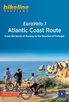 Fietsgids Bikeline Eurovelo 1 - Atlantic Coast Route | Esterbauer
Fantastische route van 11.150 km! For decades, thousands of vacationers have enjoyed cycling tours as the optimal travel method, and their numbers are growing daily. There are countless long-distance routes and …
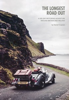 Reisverhaal The Longest Road Out | Daniel Craanen
The Longest Road Out is the road trip of a lifetime. Driving it gave us, without doubt, some of our favourite memories: from sampling succulent oysters on a sun-drenched Guernsey …
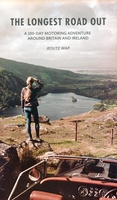 Wegenkaart - landkaart Routemap The Longest Road Out | Longestroadout
Deze kaart hoort bij het boek The Longest Road Out
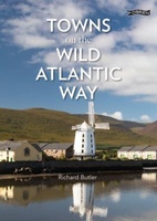 Reisgids Towns on the Wild Atlantic Way | O'Brien Press
From the drama of Donegal to the beauty of west Cork, the 2,500km Wild Atlantic Way is one of the world's greatest tourist routes. The unique towns along the way …
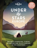 Reisinspiratieboek Under the Stars - Europe | Lonely Planet
From wild camping to curling up in a cabin, discover 200 amazing places to sleep under the stars in Europe. Lonely Planet's experts have scoured the continent to recommend the …
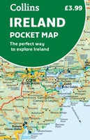 Wegenkaart - landkaart Pocket Map Ireland pocket map - Ierland | Collins
Kleine handzame kaart van Ierland. Explore Ireland with this handy, full colour map. Handy little full colour map of Ireland at an excellent price. It is double-sided, with the …
★★★★★ Spoorwegenkaart Europe Western Railroad & Road | ITMB
Spoorwegen kaart van West Europa in kleur. Schaal 1:2,500,000. Toont spoorlijnen, snelwegen, secundaire wegen en andere wegen, veerboten en belangrijke scheepvaartdiensten; internationale grenzen, de grenzen van de gebieden met reisbeperkingen; …
★★★★★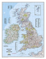 Wandkaart 02022 Britain and Ireland - Groot Brittannië en Ierland, 60 x 76 cm | National Geographic
This classic-style map of England and Wales shows political boundaries, major highways and roads, cities and towns, airports, and other geographic details. Thousands of place-names and exact borders are carefully …
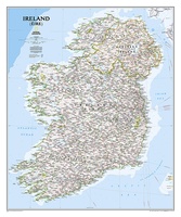 Wandkaart 20427 Ireland – Ierland, 76 x 91 cm | National Geographic
National Geographic Maps' new Ireland wall map is one of the most authoritative maps yet published of the Emerald Isle. Of the nearly 1,000 place-names shown on this map, all …
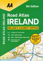 Wegenatlas Road Atlas Ireland - Ierland | AA Publishing
Handige wegenatlas van Ierland en Noord-Ierland, schaal 1:200.000. Met 10 stadsplattegronden: Belfast, Cork, Londonderry, Dublin, Galway, Killarney, Kilkenny, Limerick, Sligo and Waterford. Created from brand new mapping data, this atlas …
★★★★★
Laatste reviews

Aan twee kanten bedrukt met hetzelfde gebied, de ene kant gaf wandelingen weer, de andere kant mountainbikeroutes. Ruim een week vóór de wandelvakantie gekocht, een …
★★★★★ door elly stolwijk 04 december 2024 | Heeft dit artikel gekocht
Deze kaarten gebruik ik om mooie wandelingen uit te zetten, die ik dan met mijn liefste meisje beloop. Dank u wel voor de snelle adequate …
★★★★★ door Jacques Marks 03 december 2024 | Heeft dit artikel gekocht
Ook ik ben een zwerver, maar gelukkig niet dakloos. Deze kaarten gebruik ik om mooie wandelingen uit te zetten, die ik dan met mijn liefste …
★★★★★ door Jacques Marks 03 december 2024 | Heeft dit artikel gekocht
Perfect👍
★★★★★ door Wilma & Mari 03 december 2024 | Heeft dit artikel gekocht

