East of England - East Anglia
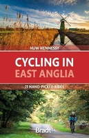 Fietsgids Cycling East Anglia | Bradt Travel Guides
Following the same format as Bradt's Cycling in Cornwall & the Isles of Scilly, this new cycling guide to East Anglia offers 21 routes for beginners and 'leisure cyclists', covering …
 Fietskaart 06 Cycle Maps UK London and Essex | Cordee
Een nieuwe fietskaarten serie van Groot-Brittannië. Gedrukt op scheur- en watervast papier en mooi handzaam klein formaat. Deze kaarten zijn met name heel goed om de Lange Afstands Fietsroutes (LF) …
 Fietskaart 09 Cycling guides Norfolk | Goldeneye
Norfolk is the fourth largest county in England and one of the most rural. It is also one of the flattest and our circular routes have been chosen to explore …
 Wandelgids Cambridgeshire | Pocket Mountains
Handige compacte wandelgids met 40 dagwandelingen. Deze gids bevat kleine kaartjes en leuke uitgebreide informatie over wat er langs de route te zien is. Goede wandelkaarten zijn echter we noodzakelijk …
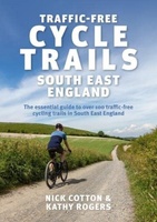 Fietsgids Traffic-Free Cycle Trails in South East England | Inspiring Adventure
Leuke gids met mooie routes: bedenk wel dat ze vrij kort zijn. Traffic-Free Cycle Trails South East England by Nick Cotton and Kathy Rogers features over 100 great cycling …
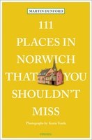 Reisgids 111 places in Places in Norwich That You Shouldn't Miss | Emons
Make the most of Norwich with this new guide to the sights and secrets of East Anglia’s premier city, from the unknown treasures of its magnificent cathedral to the legends …
 Reisgids 111 places in Places in Essex That You Shouldn't Miss | Emons
"Good evening. I'm from Essex, in case you couldn't tell." Thus spoke the inimitable punk poet of the flat lands, Ian Dury, in 1977. Few other parts of England have …
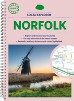 Wegenatlas Local Explorer Street Atlas Norfolk | Philip's Maps
Who hasn't explored and enjoyed their surrounding area in recent years and come to appreciate what is on our respective doorsteps? Philip's have created this new series for walkers, cyclists …
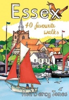 Wandelgids Essex | Pocket Mountains
Essex is full of surprises. Not only is it one of the largest counties in England by population and area, it is also home to Britain’s first city, several bustling …
 Wegenkaart - landkaart 5 OS Road Map East Midlands & East Anglia, including London | Ordnance Survey
Een serie uitstekende wegenkaarten van Ordnance survey, de topografische dienst van Engeland. Alle 8 delen kennen een schaal van 1:250.000. Het kleurgebruik is uitbundig maar niet storend; integendeel, de hoogtes …
 Fietskaart 13 Cycle Maps UK East Anglia, The Norfolk Broads | Cordee
Een nieuwe fietskaarten serie van Groot-Brittannië. Gedrukt op scheur- en watervast papier en mooi handzaam klein formaat. Deze kaarten zijn met name heel goed om de Lange Afstands Fietsroutes (LF) …
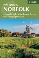 Wandelgids Walking in Norfolk | Cicerone
This guidebook describes 40 circular walks in Norfolk, including walks along the coast and walks exploring the Fens and the Broads. From 4 to 12 miles, these mostly flat walks …
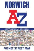 Stadsplattegrond Pocket Street Map Norwich | A-Z Map Company
Navigate your way around Norwich with detailed street maps from A-Z This up-to-date, folded A-Z street map includes more than 2,000 streets in and around Norwich. As well as the …
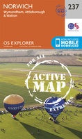 Wandelkaart - Topografische kaart 237 OS Explorer Map | Active Norwich | Ordnance Survey
Met zijn 4cm voor 1 km (2 ½ cm voor 1 mijl) schaal, is de OS Explorer kaartenserie de ideale en meest gedetailleerde kaartenreeks voor mensen die graag outdoor-activiteiten zoals …
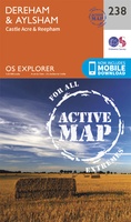 Wandelkaart - Topografische kaart 238 OS Explorer Map | Active East Dereham / Aylsham | Ordnance Survey
Met zijn 4cm voor 1 km (2 ½ cm voor 1 mijl) schaal, is de OS Explorer kaartenserie de ideale en meest gedetailleerde kaartenreeks voor mensen die graag outdoor-activiteiten zoals …
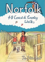 Wandelgids Norfolk | Pocket Mountains
Handige compacte wandelgids met 40 dagwandelingen. Deze gids bevat kleine kaartjes en leuke uitgebreide informatie over wat er langs de route te zien is. Goede wandelkaarten zijn echter we noodzakelijk …
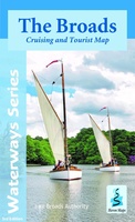 Wandelkaart The Broads | Heron Maps
A full colour map of the Broads suitable for both waterways and leisure users. This map gives detailed coverage of the Broads with emphasis on the waterways and information …
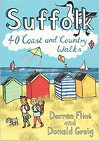 Wandelgids Suffolk : 40 Coast and Country Walks | Pocket Mountains
Handige compacte wandelgids met 40 dagwandelingen. Deze gids bevat kleine kaartjes en leuke uitgebreide informatie over wat er langs de route te zien is. Goede wandelkaarten zijn echter we noodzakelijk …
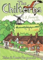 Wandelgids The Chilterns | Pocket Mountains
Handige compacte wandelgids met 40 dagwandelingen. Deze gids bevat kleine kaartjes en leuke uitgebreide informatie over wat er langs de route te zien is. Goede wandelkaarten zijn echter we noodzakelijk …
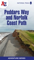 Wandelatlas Adventure Atlas Norfolk Coast Path Peddars Way | A-Z Map Company
AZ heeft de meest gedetailleerde wandelkaarten van het zuidelijke deel van het Lake District gebundeld in een atlasje. Daardoor is het heel handig qua formaat. De kaarten zelf zijn perfect …
Laatste reviews

Heb de gids cadeau gedaan en die persoon was er heel blij mee ..
★★★★★ door J 21 november 2024 | Heeft dit artikel gekocht
De kaart van Kirgystan is prachtig, zeer gedetailleerd. Kan niet wachten tot de we echt op reis hmgaan die kant op.
★★★★★ door Marijke Eering 21 november 2024 | Heeft dit artikel gekocht
Super handig fiets boekje en mooi water bestendig. En handig om op de kaarten te kijken heel duidelijk beschrijving. Wij fietsen al jaren in Duitsland …
★★★★★ door Jenneke holterman 19 november 2024 | Heeft dit artikel gekocht
prima kaart levering en betaling allemaal vlot verlopen
★★★★★ door Marc Buts 19 november 2024 | Heeft dit artikel gekocht

