Kaarten - Zuid-Afrika
 Stadsplattegrond Cape Town - Kaapstad | Borch
Borch Kaapstad is een duidelijke, geplastificeerde plattegrond van het centrum met informatie over openbaar vervoer en bezienswaardigheden. Inclusief straatnamenregister. Our soft-laminated folded map of Cape Town shows: Cape Town …
 Stadsplattegrond Durban Coastline & Battlefields | National Geographic
Handige geplastificeerde stadsplattegrond van Durban. In addition to the easy-to-read map on the front, the back includes: Regional map Points of interest Information and map of the North Coast Information …
★★★★★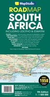 Wegenkaart - landkaart Zuid-Afrika - South Africa, Lesotho & Swaziland | MapStudio
Duidelijke overzichtskaart van Zuid Afrika, Lesotho en Swaziland. Met gedetailleerde kaarten van de regio's Gauteng, Kaapse Schiereiland en Durban. South Africa Lesotho and Swaziland map is a new edition which …
★★★★★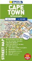 Stadsplattegrond Streetmap Cape Town - Kaapstad | MapStudio
Uitgebreide stadsplattegrond van Kaapstad en directe omgeving. The Cape Town & Peninsula Street Map is the ideal travel companion to find your way around Cape Town. Coverage includes: …
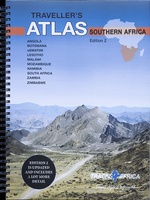 Wegenatlas Traveller's Atlas Southern Africa - Zuidelijk Afrika | A3-Formaat | Ringband | Tracks4Africa
Deze atlas omvat tien landen in zuidelijk Afrika en is speciaal gericht op reizigers die zelf rijden. De betrokken landen zijn: Angola, Botswana, Lesotho, Malawi, Mozambique, Namibië, Zuid-Afrika, Swaziland, Zambia …
★★★★★★★★★★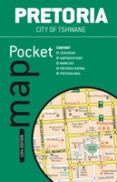 Stadsplattegrond Pocket map Pretoria | MapStudio
The Pretoria Pocket Map is a new edition convenient pocket size map of Pretoria which includes the latest up-to-date information, key tourist areas and street plans. The map includes a …
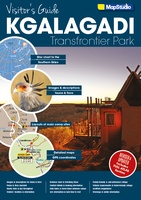 Wegenatlas - Reisgids Visitor’s Guide to Kgalagadi Transfrontier Park | MapStudio
The Kgalagadi Transfrontier Park is a fusing of two parks, namely South Africa’s Kalahari Gemsbok National Park and Botswana’s Gemsbok National Park. The vastness of the Kgalagadi makes this one …
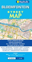 Wegenkaart - landkaart - Stadsplattegrond Bloemfontein | MapStudio
Uitgebreide stadsplattegrond van Bloemfontein en directe omgeving. The Bloemfontein Street Map is a 1st edition street map providing coverage of Bloemfontein and surrounds, plus includes the latest interchange layouts, names …
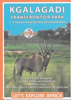 Wegenkaart - landkaart Kgalagadi Transfrontier Park | Infomap
Kgalagadi Transfrontier Park in Zuid Afrika, wegenkaart 1:500.000. Met toeristische informatie en geschikt voor gebruik met GPS The reverse side of the map shows the main tourist areas in …
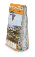 Wegenkaart - landkaart Zuid Afrika - South Africa incl Lesotho & Swaziland | Tracks4Africa
Gerenommeerde wegenkaart van Zuid Afrika, vooral gericht op navigeren met GPS en het rijden over de kleinere wegen. De eerste toeristische kaart van Zuid-Afrika die reistijden en afstanden vermeld. De …
★★★★★★★★★★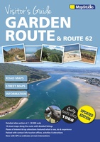 Wegenatlas - Reisgids Garden Route & Route 62 Visitors Guide | MapStudio
Visitor’s Guide to the Garden Route & Route 62 is your GPS Companion This Visitor’s Guide includes 14 street maps along with the various routes and detailed listing of …
★★★★★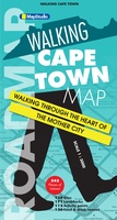 Stadsplattegrond Walking Cape Town | MapStudio
Zeer gedetailleerde plattegrond van het centrum van Kaapstad. Ideaal om de stad te voet te ontdekken. Met veel bezienswaardigheden weergegeven in verschillende categorieën, met elk hun eigen kleur , zoals musea, …
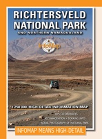 Wegenkaart - landkaart Richtersveld National Park and Northern Namaqualand | Infomap
Wegenkaart met toeristische informatie en geschikt voor gebruik met GPS The original InfoMap! Now in its 8th edition this map remains as popular as ever. For those who don’t …
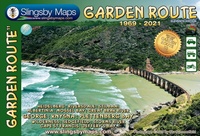 Wegenkaart - landkaart Garden Route | Zuid Afrika | Slingsby Maps
Brand new 11th edition of the FIRST and still the BEST Garden Route map … Now thoroughly updated. From Witsand and Heidelberg in the west, this ALL-NEW map has been …
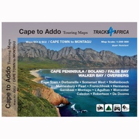 Wegenkaart - landkaart SC1-SC2 Cape Town to Montagu | Tracks4Africa
We start in Cape Town in the west and move along the southern coast through the Overberg, Winelands, Garden Route, Klein Karoo R62, Baviaanskloof to eventually arrive in the Addo …
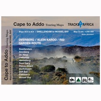 Wegenkaart - landkaart SC3-SC4 Swellendam to Mossel Bay | Tracks4Africa
The Cape to Addo map series covers the southern parts of the Western Cape of South Africa in a series of eight highly detailed maps, printed on four sheets of …
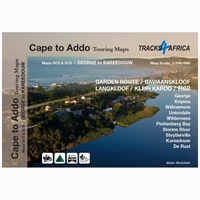 Wegenkaart - landkaart SC5-SC6 George to Kareedouw | Tracks4Africa
The Cape to Addo map series covers the southern parts of the Western Cape of South Africa in a series of eight highly detailed maps, printed on four sheets of …
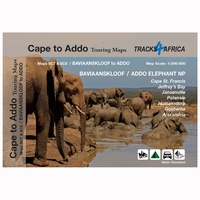 Wegenkaart - landkaart SC7-SC8 Baviaanskloof to Addo | Tracks4Africa
The Cape to Addo map series covers the southern parts of the Western Cape of South Africa in a series of eight highly detailed maps, printed on four sheets of …
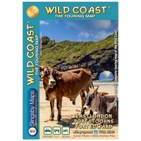 Wegenkaart - landkaart South Africa: Wild Coast | Slingsby Maps
Wild Coast Brand new 6th Edition of this great map : for 15 years the best and only detailed touring map of the Wild Coast! The Wild Coast …
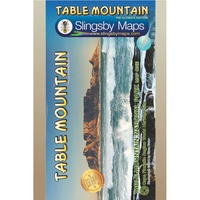 Wandelkaart South Africa: Table Mountain | Slingsby Maps
This highly detailed map shows all approved paths on the mountain and includes full GPS information. The map shows the Hoerikwaggo and the Peoples Trail, and covers the area from …
Laatste reviews

Heb de gids cadeau gedaan en die persoon was er heel blij mee ..
★★★★★ door J 21 november 2024 | Heeft dit artikel gekocht
De kaart van Kirgystan is prachtig, zeer gedetailleerd. Kan niet wachten tot de we echt op reis hmgaan die kant op.
★★★★★ door Marijke Eering 21 november 2024 | Heeft dit artikel gekocht
Super handig fiets boekje en mooi water bestendig. En handig om op de kaarten te kijken heel duidelijk beschrijving. Wij fietsen al jaren in Duitsland …
★★★★★ door Jenneke holterman 19 november 2024 | Heeft dit artikel gekocht
prima kaart levering en betaling allemaal vlot verlopen
★★★★★ door Marc Buts 19 november 2024 | Heeft dit artikel gekocht

