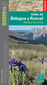
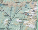
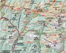
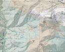
Wandelkaart 02 Valles de Belagua y Roncal | Editorial Alpina (9788480909396)
Macizo de Larra
- ISBN / CODE: 9788480909396
- Editie: 25-07-2022
- Aantal blz.: 1
- Schaal: 1:25000
- Uitgever: Editorial Alpina
- Soort: Wandelkaart
- Taal: Engels, Spaans
- Hoogte: 21.0 cm
- Breedte: 12.0 cm
- Gewicht: 188.0 g
- Uitvoering: Papier
- Bindwijze: -
- Schrijf als eerste een review
-
€ 16,95
Op voorraad. Voor 17.00 uur op werkdagen besteld, binnen 1 tot 2 werkdagen in huis in Nederland Levertijd Belgie
Gratis verzending in Nederland vanaf €35,-
-
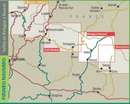
Overzicht Pyreneeën-West Editorial Alpina
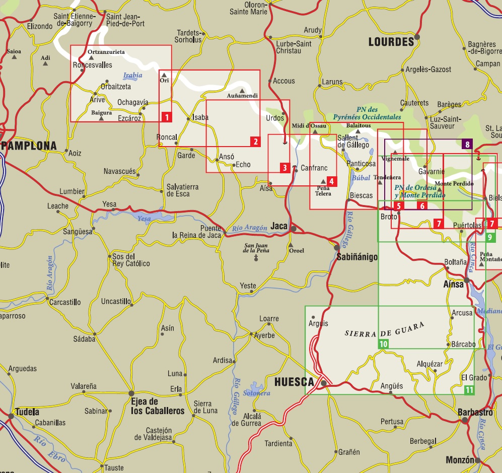
Producten op deze overzichtskaart:
Klik op een product om naar de pagina van dat product te gaan.
- Wandelkaart 01 Mapa de los Valles de Irati - Aezkoa (Roncesvalles) | Editorial Alpina
- Wandelkaart 02 Valles de Belagua y Roncal | Editorial Alpina
- Wandelkaart 03 Valles de Anso y Echo | Editorial Alpina
- Wandelkaart 04 Valle de Canfranc - Valle de Aisa | Editorial Alpina
- Wandelkaart 05 Valle de Tena | Editorial Alpina
- Wandelkaart 06 Vignemale - Valle de Bujaruelo | Editorial Alpina
- Wandelkaart 07 Parque Nacional Ordesa y Monte Perdido | Editorial Alpina
- Wandelkaart 08 Macizo de Monte Perdido - Valle de Ordesa - Pineta | Editorial Alpina
- Wandelkaart 09 Ordesa y Monte Perdido | Editorial Alpina
- Wandelkaart 10 Sobrabe Central - Aínsa - Boltaña | Editorial Alpina
- Wandelkaart 11 Sierra y Cañones de Guara, Canyons National Park | Editorial Alpina
- Wandelkaart Midi d'Ossau Balaitus | Editorial Alpina
- Wandelkaart Néouvielle | Editorial Alpina
- Wandelkaart Sobrepuerto | Editorial Alpina
Overzichtskaarten
Beschrijving
Reviews
Geen reviews gevonden voor dit product.
Schrijf een review
Graag horen wij wat u van dit artikel vindt. Vindt u het goed, leuk, mooi, slecht, lelijk, onbruikbaar of erg handig: schrijf gerust alles op! Het is niet alleen leuk om te doen maar u informeert andere klanten er ook nog mee!

