Wandkaarten van landen - Engeland
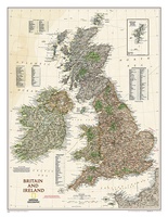 Wandkaart 20442 Groot Brittannië en Ierland antiek, 60 x 76 cm | National Geographic
This map of Britain and Ireland shows country boundaries, thousands of place names, major roadways, airports, bodies of water, and more. Rich earth-toned colors, astounding detail and boardroom quality make …
★★★★★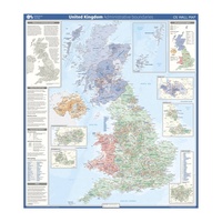 Wandkaart United-Kingdom Administration | 93 x 104 cm | Ordnance Survey
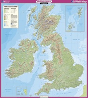 Wandkaart British Isles Physical | 93 x 104 cm | Ordnance Survey
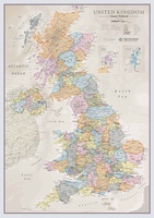 Wandkaart Classic Verenigd Koninkrijk | UK | Great Brittain | 85 x 60 cm | Maps International
Ontdek de rijke historie en schilderachtige landschappen van het Verenigd Koninkrijk met onze prachtige wandkaart, vormgegeven in een elegante klassieke stijl. Deze gedetailleerde kaart toont niet alleen de verschillende landen …
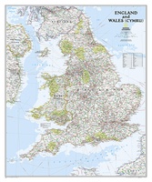 Wandkaart 20664 Engeland en Wales, 76 x 92 cm | National Geographic
This classic-style map of England and Wales shows political boundaries, major highways and roads, cities and towns, airports, and other geographic details. Thousands of place-names and exact borders are carefully …
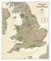 Wandkaart 20667 Engeland en Wales, antiek, 76 x 91 cm | National Geographic
This earth-toned, executive-style map of England and Wales shows political boundaries, major highways and roads, cities and towns, airports, and other geographic details. Thousands of place-names and exact borders are …
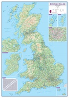 Wandkaart Engeland - British Isles roadplanning wall map, 84 X 119 cm | Maps International
Routeplanner map from Maps International's selection of British Isles maps. Routeplanning map details: British Isles routeplanning map shows the motorways, major roads and transport hubs such as airports and …
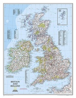 Wandkaart 02022 Britain and Ireland - Groot Brittannië en Ierland, 60 x 76 cm | National Geographic
This classic-style map of England and Wales shows political boundaries, major highways and roads, cities and towns, airports, and other geographic details. Thousands of place-names and exact borders are carefully …
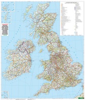 Wandkaart Groot-Brittannië - Ierland | 99 x 116 cm | Freytag & Berndt
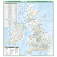 Wandkaart British Isles Communication | 93 x 104 cm | Ordnance Survey
Laatste reviews

De landkaart voldoet geheel aan mijn wensen. Ik zocht en zo klein mogelijke schaal, om onze routes te plannen. Helaas is de eerste bestelling verdwenen …
★★★★★ door Albert Huizing 04 januari 2025 | Heeft dit artikel gekocht
Prachtige foto’s die herkenbaar zijn na een bezoek aan Suriname. Interessante achtergrond informatie. Jammer dat het boek niet meer gedrukt wordt. Snel verstuurd!
★★★★★ door Neeltje 03 januari 2025 | Heeft dit artikel gekocht
Ik kocht dit boek voor pakjesavond voor mijn zwager en schoonzus, die het heerlijk vinden om regelmatig samen te wandelen, ergens in Nederland. Ook houden …
★★★★★ door Cindy de Lange-Wirds 03 januari 2025 | Heeft dit artikel gekocht
O.a. en kaart van Curaçao besteld. Prachtig van kwaliteit maar wel wat jammer dat de uitvoering wat gedateerd is. Reisgids is prima, evenals het fietsboekje …
★★★★★ door Henk van den Born 03 januari 2025 | Heeft dit artikel gekocht

